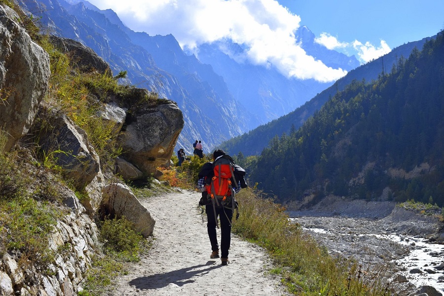
One of the most satisfying hikes you will ever take is the Gaumukh Tapovan.
There are “little” summit views and “large” summit views. Not only do you get to experience the greatest vistas of Mount Shivling on the Gaumukh Tapovan hike. Mt. Shivling is visible from its foothills all the way to its peak. If you’re not familiar with Mt. Shivling, it’s one of our country’s most attractive-looking mountains. It makes sense why the mountain has been in our gold calendar each year since it was first released.
But hold on. You may see the Bhagirathi sisters from top to bottom in addition to Mt. Shivling. The three Bhagirathi sisters make up a massif that dominates the area, giving them an even larger appearance than Mt. Shivling at times.
Why is a decently fit beginner NOT suited for the Tapovan trek?
While planning your first journey in the Himalayas, there are a lot of moderate-grade hikes that we advise. Although Tapovan is likewise rated as “Moderate,” we DO NOT suggest using it as your first expedition. The trail reaches a significantly lower greatest altitude than the one that is considered to be excessively high.
The wide, rather easy trail leads to Bhojbasa. As you get closer to Gaumukh, the fabled snout of the Gangotri glacier, things start to change. There are some well-known “Moderate” treks that don’t need you to cross a glacier, notably deposited moraine, including Roopkund, Rupin, Goecha La, and others. Rocks, boulders, scree, and other detritus are carried by moraines.


